Geographic Information Systems (GIS) at the MBMG
Effectively understanding and managing Montana’s vast geologic and hydrologic resources requires powerful support systems designed to gather, store, analyze, and communicate complex geospatial data. Geographic Information Systems (GIS) are specifically designed to meet this requirement. MBMG scientists and geospatial analysts employ GIS daily to visualize, explore, and analyze complex geologic and hydrologic information and relationships. In addition, GIS is critical for the efficient storage and distribution of the MBMG’s valuable geologic and hydrologic analyses, which are critical to many public and private entities as they work to develop and manage Montana’s natural resources.
Working toward a National Database Design:
Over the past few years, MBMG scientists and GIS specialists have been adopting and extending the U.S. Geological Survey’s (USGS) nationally standardized database schema (database design) called the Geologic Map Schema (GeMS). The GeMS schema bridges the gap between traditional paper geologic maps and clear, consistent, usable digital geologic data that can be easily defined, visualized, edited, queried, stored, and transferred. For more information about GeMS, visit the USGS National Geologic Map Database site at: https://ngmdb.usgs.gov/Info/standards
GIS Modernization
The MBMG has long had large and complex databases of geologic and hydrogeologic data. The main focus going forward is to make that data available to staff and to the public in GIS format. Translation of the data into ArcGIS enterprise level databases began in February 2022, and the GIS team has made significant strides in spatializing data that was otherwise only available in tabular fashion.
The goals of spatialization of data, the enterprise data management process, and modernization are to be able to create 2D maps, 3D maps, and statistical and analytical dashboards that will better visualize the MBMG data in a more modernized and scientific look and feel. ESRI states that 65% of people understand data better when they can visualize it, whether as maps or as charts and graphs. As of 2026, the GIS staff have built 40+ new applications as web maps, in both 2D and 3D space, and as a suite of analytical dashboards that allow for a statistical look at our data. All web mapping applications and Dashboards along with publication and data download links and access will be presented on the newly developed MBMG GIS Data Hub Site.
GIS Data Hub Site
GIS Data Hub Site is a web-based platform for exploring the MBMG’s GIS data and discovering analytics through our web maps and apps. This site hosts all of the MBMG’s GIS products and is continuously updated with new data and maps. To visit the GIS Data Hub Site, go to https://gis-data-hub-mbmg.hub.arcgis.com/.
Photographs
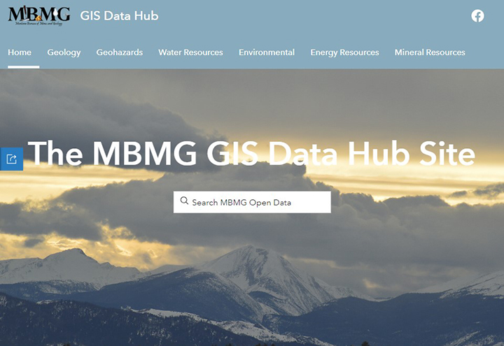
Home page of the GIS Data Hub Site.
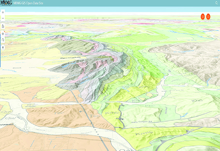
An interactive 3D map on the GIS Data Hub Site.
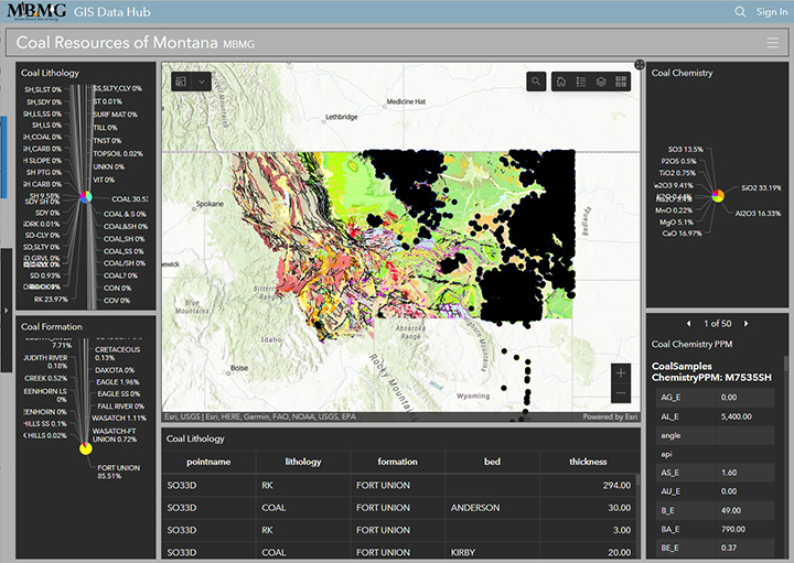
An analytical dashboard web application on the GIS Data Hub Site.
Contact information
Program Information
John Sanford, GIS Manager
(406) 496-4606 | Email
Patricia Gallagher, GIS Specialist
Email
Yiwen Li, GIS Specialist
Email
Anthony Roth, Map Technician
(406) 496-4891 | Email