Download Publication Products and GIS Data
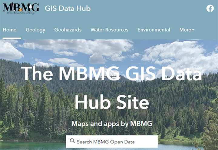
The GIS team at the MBMG is devoted to presenting Montana’s geology, minerals, energy, geohazards, environmental, and water resources data in a variety of digital formats. GIS data can
be downloaded from individual web mapping applications and dashboards via our newly developed GIS Data Hub Site. Not all publications have all updated formats available. The GIS data of many older geologic maps were generated and stored as ArcInfo data.
The GIS team has converted most of these ArcInfo data to updated formats, but ArcInfo may be the only data format option for some maps.
Available Data Formats
Map (PDF):
A Portable Document Format (.pdf) of the geologic map.
Some publications have an accompanying report or pamphlet. PDFs can be viewed using many programs including Adobe Reader and Microsoft Edge.
ArcMap (being retired) or ArcGIS Pro package:
A map package (.mpk or .mpkx) contains a map document (.mxd or .mapx), the data referenced by the layers it contains, and other items such as graphics and layouts. When a map package is downloaded and opened, the map document will open and the associated data will be saved to an obscure location on the C: drive (C:\Users\USERNAME\Documents\ArcGIS\Packages\).
Use the Extract Package tool in ArcMap to extract the map package to a specified folder.
Shapefiles:
A shapefile is a simple format for storing location and attribute information of point, line, or polygon features.
Shapefiles can be viewed and edited with ESRI and other GIS software.
Each shapefile consists of a set of related files, so they are often shared and downloaded in zipped (.zip) files.
Geodatabase:
The geodatabase is the native data structure for ArcGIS and is the primary data format used for editing and data management. While ArcGIS works with geographic information in numerous geographic information system (GIS) file formats,
it is designed to work with and leverage the capabilities of the geodatabase.
Georeferenced TIFF (GeoTIFF):
An image file of the geologic map that contains georeferencing information embedded within the image. A GeoTIFF will draw in the correct spatial location when viewed in GIS.
These have limited availability and are related to specific geologic map documents only.
GIS Data Bundle:
A compressed file (.zip) containing data of multiple formats. A GIS Data Bundle file typically contains shapefiles, geodatabases, and an ArcGIS map package (.mpk or .mpkx).
