Big Sky Project
Background and Purpose
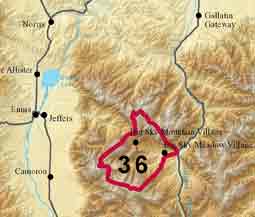 The Big Sky project area includes a water supply system, the Big Sky Water and Sewer District, that provides water to many of the residences near and between the Big Sky resort and Highway 191 along the West Fork Gallatin River. The most productive wells serving this system are located in a meadow adjacent to the West Fork, near Big Sky Meadow Village. There are currently five production wells in the meadow area, and the capability of this area to support additional wells is unknown.
In some areas within the water system boundary, and outside of the boundary, hundreds of individual wells derive water from a variety of aquifers, predominately bedrock aquifers. Severe water-level declines have occurred in some areas, causing residents to deepen or replace their wells. The structural complexities also make it difficult to understand conditions in various areas or develop a conceptual model of the overall groundwater flow system, including the locations of groundwater divides.
There is some interest in determining sources for future groundwater supplies, both for individual wells and for potential expansion of the Big Sky Water and Sewer District. Water sources connected to the Madison River watershed may have significant advantages due to legalities of surface-water availability in the Gallatin and Madison Rivers.
Project Scope
The project scope will be developed in the first half of 2013, in cooperation with the Water Resources Division and Bozeman Water Resources Regional Office, Department of Natural Resources, the Blue Water Task Force, Big Sky Water and Sewer District, Gallatin Local Water Quality District and local residents.
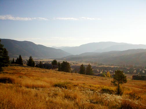 View of the West Fork Gallatin valley near Big Sky
- Groundwater-level monitoring and aquifer tests in the vicinity of the Big Sky Meadow well field
- A detailed analysis of geologic data, well logs, and reported and inventoried groundwater levels combined with some exploratory drilling and
- Groundwater modeling efforts will include an evaluation of the Big Sky Meadow well field, and possibly address certain conceptual issues regarding bedrock aquifers
- Creation of an educational pamphlet about water resources in the Big Sky area
Project Duration: July 2013-December 2016
GWIP Personnel Assigned:
Kirk Waren — Hydrogeologist
406.496.4866
 KWaren@mtech.edu
James Rose – Hydrogeologist
406.496.4829
JRose@mtech.edu
Connie Thomson – Montana Tech Graduate Student
Project Reports and Publications:
- Big Sky — GWIP Nomination by DNRC-Water Resources Division (pdf file)
- Big Sky GWIP Work Plan Draft
Contact information :
- Where to find us in Butte and Billings
- for general GWIP program information
Ginette Abdo
or 406.496.4152
- for general MBMG information
Cathy McKillips
or 406.496.4167