About Earthquakes
Mission
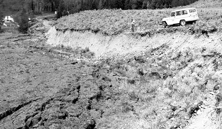
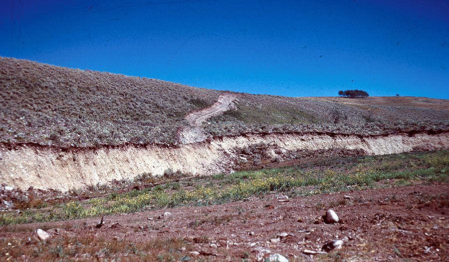
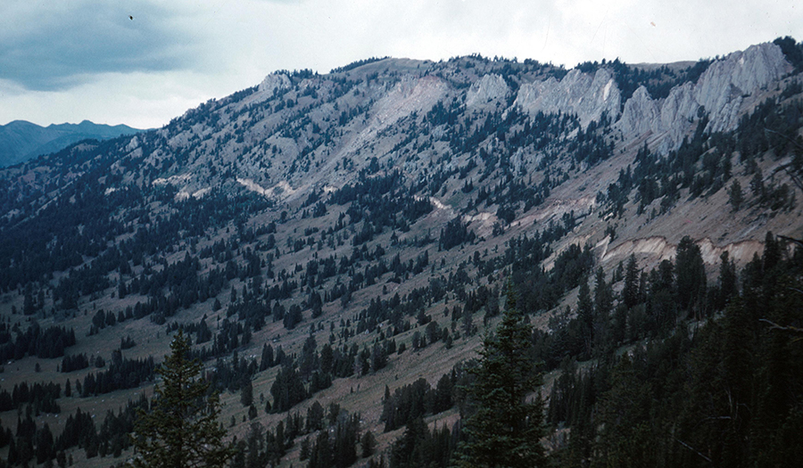
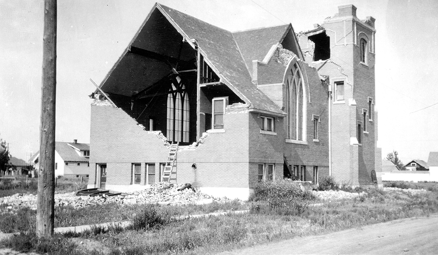
Western Montana has a history of large, damaging earthquakes, and remains seismically active. Many of these earthquakes occur along faults that do not extend to the Earth's surface, and are thus unmapped and unknown. Seismic hazards associated with earthquakes along these "blind" faults cannot be evaluated with traditional geologic studies and are best studied using data from a permanent network of seismograph stations. Accordingly, our mission is to monitor, analyze, and report on Montana earthquakes and make these data available for seismic hazard research and to the public.
The Earthquake Studies Office (ESO) of the Montana Bureau of Mines and Geology (MBMG) operates the Montana Regional Seismic Network (MRSN), a network of
50 permanent seismic stations located throughout western Montana. In addition to the MRSN stations, the ESO processes data from approximately 150 stations from
neighboring institutions (see figure below). MBMG personnel review all detected seismic events to determine whether they are earthquakes or man-made blasts from mines,
quarries, or construction sites. All confirmed seismic events are reported to the
USGS Comprehensive Catalog.
Partners
Confederated Salish and Kootenai Tribes
University of Utah Seismograph Stations
University of Montana
Montana State University
U.S. Geological Survey
University of Idaho