Ground Water Investigation Program—GWIP
GWIP supports science-based water management in Montana by answering site-specific questions that are prioritized and assigned by the Montana Ground Water Steering Committee MCA 2-15-1523, as mandated by the Montana Legislature and authorized in MCA 85-2-525. To meet this goal, GWIP conducts research on specific hydrogeologic issues in areas that are ranked as the most urgent within the State.
Groundwater withdrawals can directly affect senior water-rights holders, streamflows, the availability of irrigation water, and the health of aquatic ecosystems. Efficient water management requires a scientifically based understanding of the groundwater systems.
GWIP projects have included water resource issues such as:
- Cumulative effects of existing and proposed water development on groundwater and streamflow,
- Effects to groundwater and surface water from changes in irrigation practices or land use,
- Groundwater availability for residential, commercial, and agricultural development,
- Possible effects of energy development on groundwater resources,
- Evaluation of mitigation/offset plans in closed basins, and
- Water-quality impacts on groundwater and surface waters from land use changes.
The results of each investigation include:
- A detailed report describing the hydrogeologic system of the area, addressing the immediate water-resource question and implications for future stresses as appropriate,
- Typically, a groundwater model that is available for use in future analyses, and
- A comprehensive set of data available through the Ground Water Information Center (GWIC).
These products are used by regulators, senior water-rights holders, new water-rights applicants, and other stakeholders to make better-informed water management decisions.
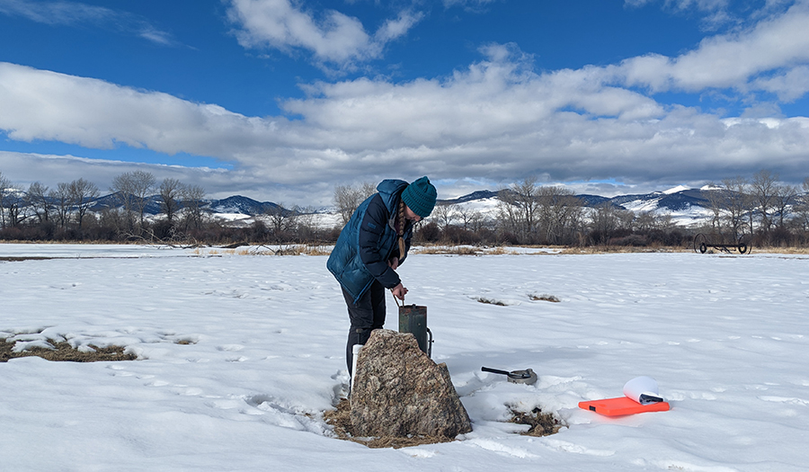
Measuring groundwater levels in the Big Hole River Valley to interpret groundwater flow directions.
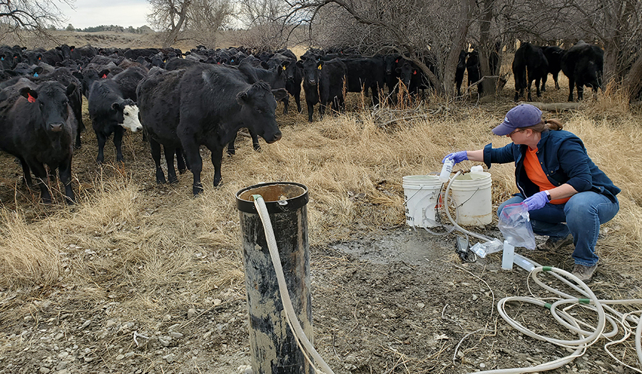
Water-quality sampling used to determine aquifer chemistry and the effects of increased residential and agricultural changes on water quality.
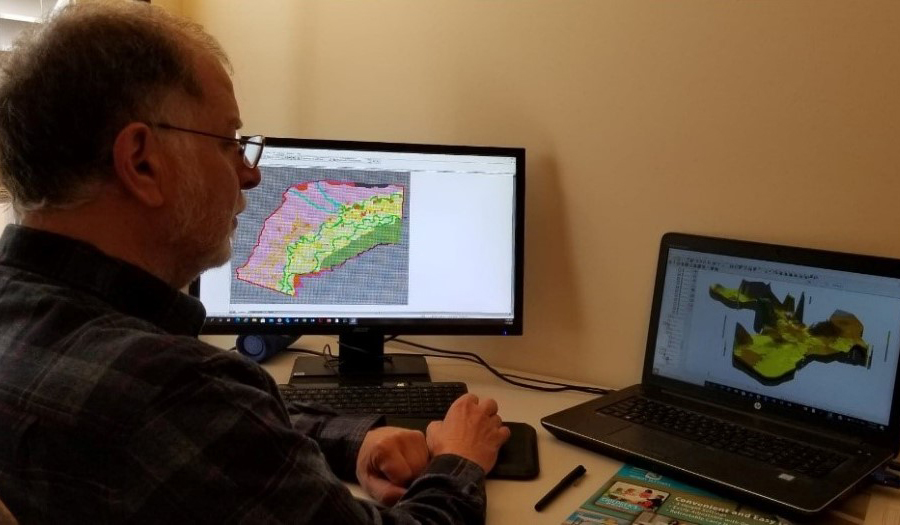
Groundwater modeling simulates the natural system and provides a tool to evaluate changes in land use, increased water demand, and the effects of drought on Montana’s water resources.
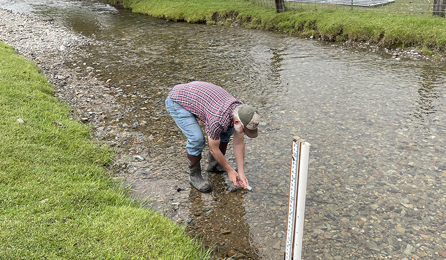
Surface-water monitoring and sampling to understand changes in river discharge throughout the year. .
Program Resources
Contact Information
Program InformationGinette Abdo, GWIP Manager
(406) 496-4152 | Email