Irrigation Recharge
Background
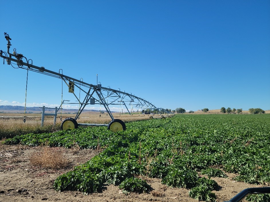
The current trend in irrigated agriculture in Montana has been to convert fields from “flood” type irrigation to “pivot” or sprinkler irrigation. This has been done for both labor and water efficiency reasons. However, these conversions also result in a reduction in potential irrigation recharge which can substantially impact shallow aquifers that are dependent on this recharge.
Purpose
The purpose of this project is to collect measurements of soil water flux beneath fields with different irrigation practices to quantify just how much potential irrigation recharge is affected by changing irrigation methods. These data will provide insight into common modeling assumptions and estimates and help improve estimates of irrigation recharge across Montana.
Project Scope
The project will involve installation of 6 soil-water flux lysimeters, 3 in Edgar, MT and 3 in Melrose, MT. The lysimeters will be installed beneath native ground (natural soil-water control), flood irrigated, and pivot irrigated land. The instruments will be installed beneath the estimated root zone for crops to be grown to measure water that is not converted to evapotranspiration. Additionally, instruments will be installed in deeper boreholes above the water table to track wetting fronts and allow estimation of water flow getting to the deepest part of the vadose zone.
Project Status
Installation of lysimeters was completed in Edgar, MT in early November 2022 and in Melrose, MT in early 2023. Data collection will continue through summer 2025.
Project Reports
There are no reports available for this project.Project Personnel
| Shawn Kuzara | Team Leader, Associate Research Hydrogeologist |
| Ron Breitmeyer | Hydrogeologist |
| Jenna Dohman | Assistant Research Hydrogeologist |
Presentations
- Field tour in the Glen/Melrose area for the Water Policy Interim Committee, July 16, 2024.
Link to Project Data
Data collected for this project can be accessed through the Ground Water Information Center (GWIC) database:
Download project data from GWIC
Program Resources
Contact Information
Program Information
Ginette Abdo, GWIP Manager
(406) 496-4152 | Email