Ground Water Assessment Program—GWAP
The Ground Water Assessment Program was established by the Montana Legislature (85-2-901 et seq.) in 1991 to improve the understanding of Montana's groundwater resources by collecting, interpreting, and disseminating essential groundwater information. This information is vital for making science-based management decisions.
There are three program components:
- Groundwater Monitoring–to produce and maintain long-term water-level and water-quality records,
- Groundwater Characterization–to systematically assess and document the hydrogeology and quality of the State's major aquifers, and
- Groundwater Information Center (GWIC) database–to make groundwater information widely available.
An interagency Steering Committee selects study areas, coordinates groundwater research among State, Federal, and local government units, and oversees Assessment Program progress.
Related Content
Aquifer CharacterizationGroundwater Information Center
Web Mapping Application
Contact Information
Program InformationAlan English, Program Manager
(406) 496-4765 | Email
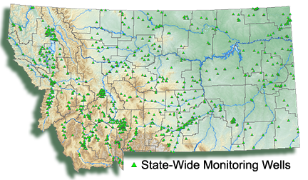
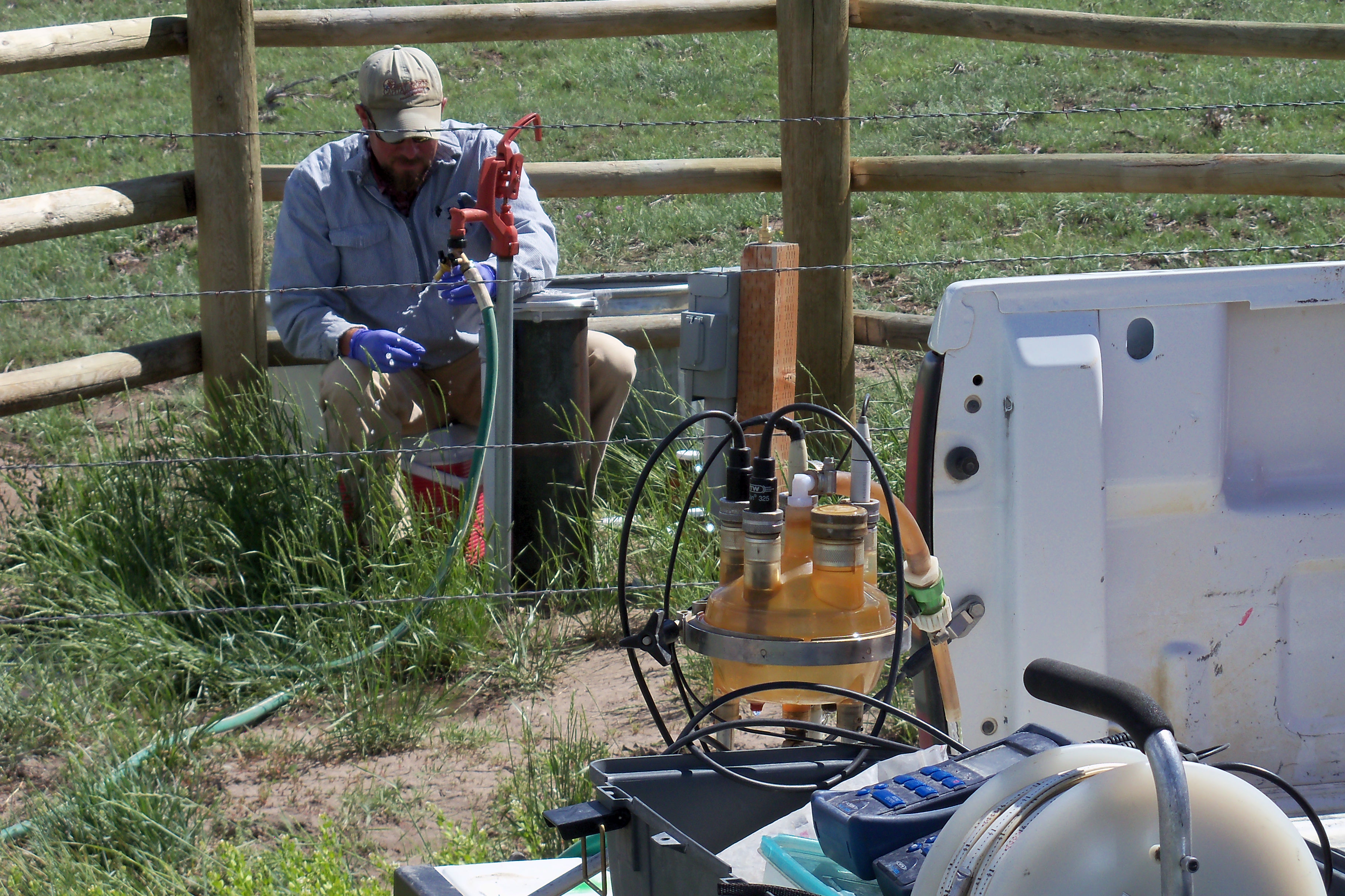
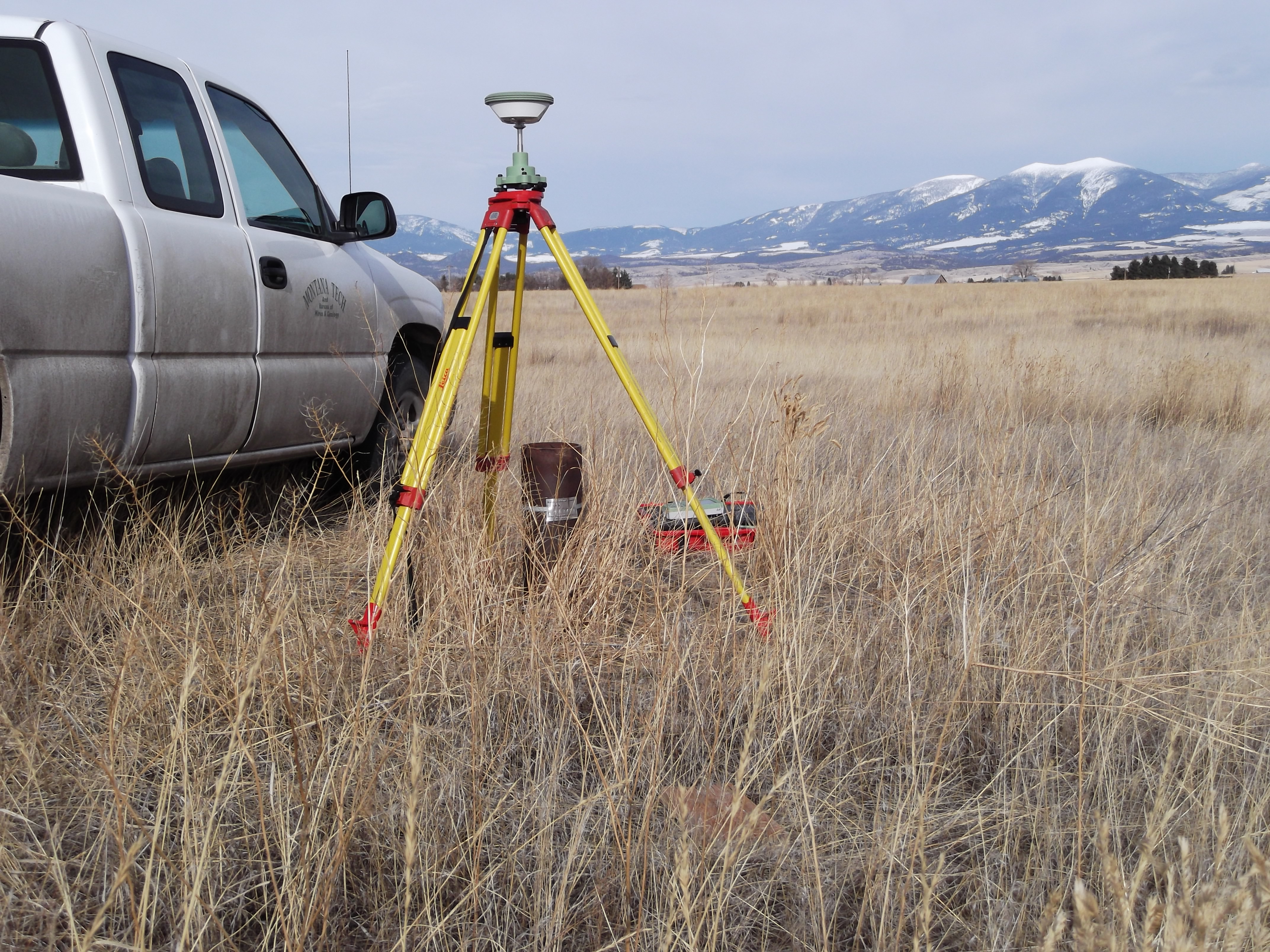
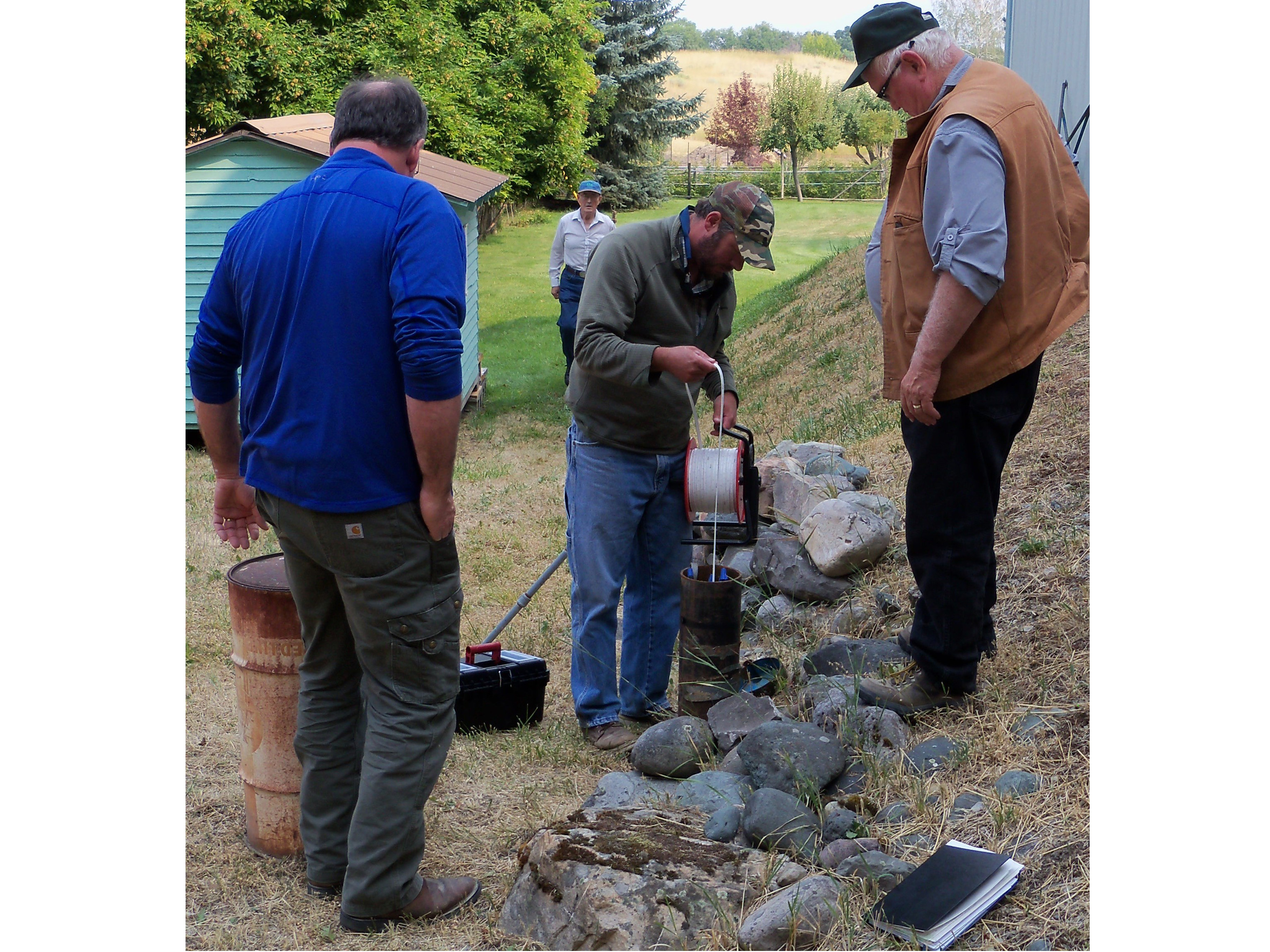
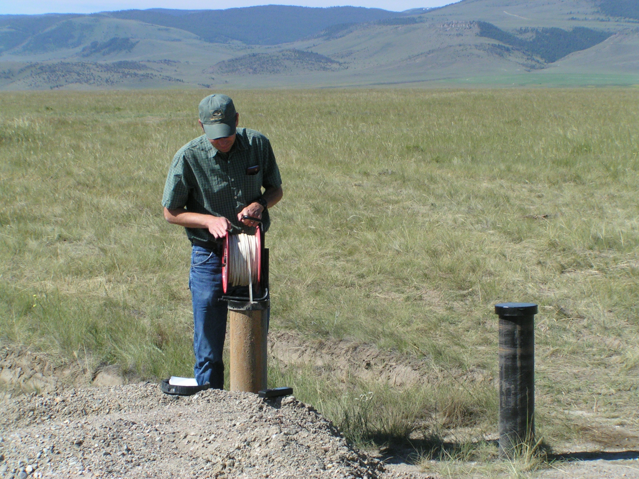
Long-term water-level measurements provide a fundamental measure for assessing the status and trends of groundwater storage. The Groundwater Monitoring Program systematically tracks long-term water-level and water-quality changes in Montana’s major aquifers. A network of strategically located wells across the State produces groundwater-level records that directly measure how Montana’s aquifers respond to seasonal, climatic, developmental, or land-use factors. The more than 800-well network includes some that have been regularly monitored since the 1950s. Several cooperators maintain local groundwater-level networks and share their data with MBMG. Cooperators include:
- Confederated Salish Kootenai Tribes Water Resources Program
- Gallatin Local Water Quality District
- Missoula Valley Water Quality District
- Lewis and Clark Water Quality Protection District
- Sheridan Conservation District
- Yellowstone Controlled Groundwater Area
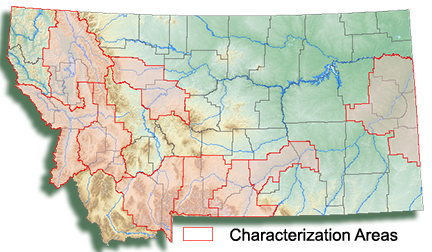
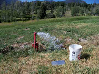
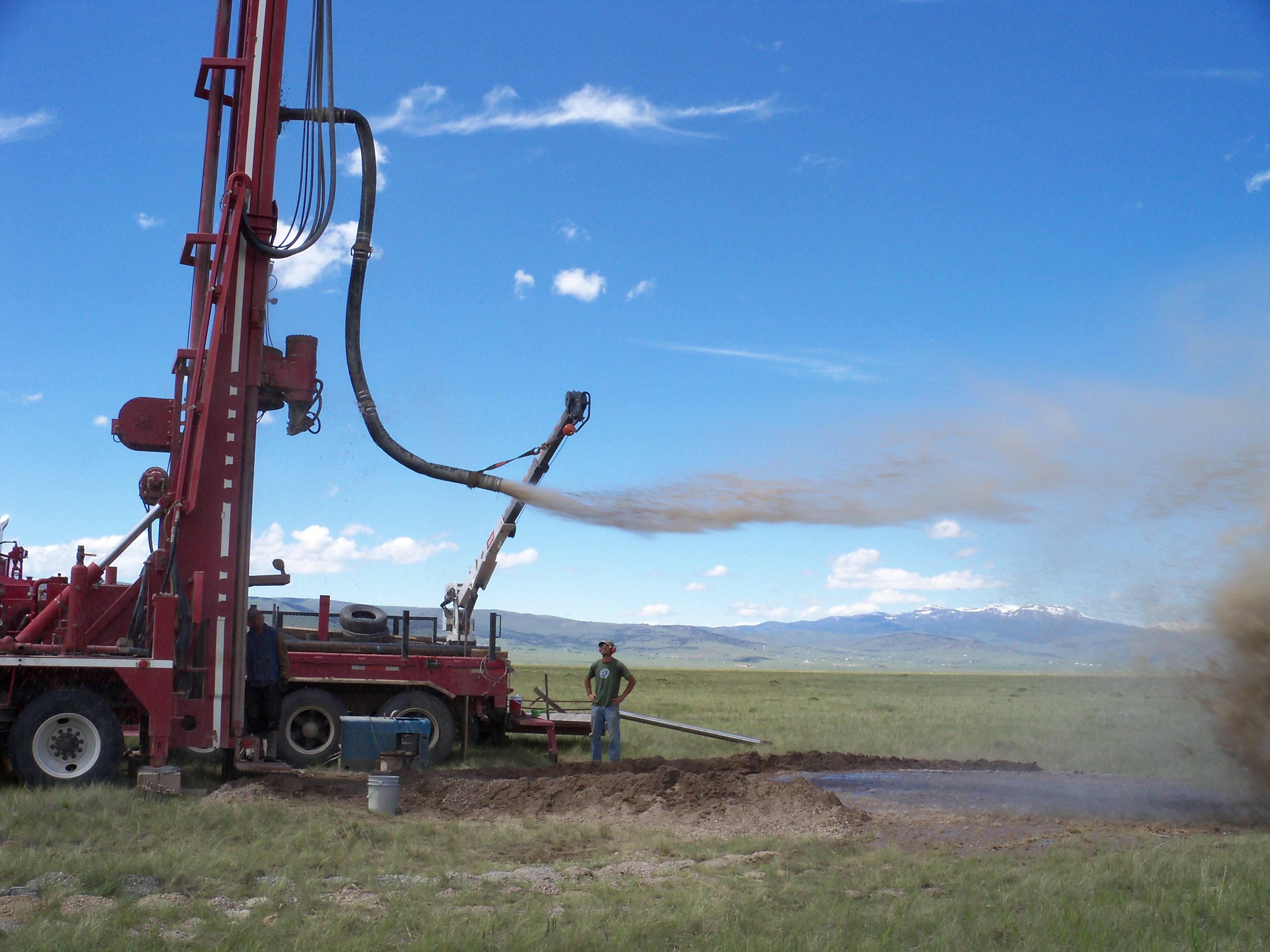
The Characterization Program maps and assesses aquifers within specific areas as prioritized by the Ground Water Assessment Steering Committee.
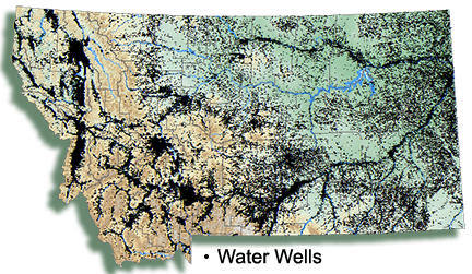
To date, more than 8,000 wells have been visited and about 3,000 groundwater samples have been collected. These data have been used to compile 64 maps and reports that describe aquifer productivity, groundwater-flow systems, and groundwater quality.
The Ground Water Information Center (GWIC) is Montana's groundwater information repository.
The website (https://mbmggwic.mtech.edu/) provides online access to water-well logs, hydrographs, maps of groundwater-flow systems, and water-quality reports describing groundwater conditions across the State, as well as a variety of field, chemical, and physical data.