Abandoned Mine Lands Inventory
To comply with the Comprehensive Environmental Response, Compensation and Liability Act (CERCLA), the northern region of the U.S. Forest Service (USFS) and the Montana Bureau of Land Management (BLM) office needed to identify and characterize abandoned and inactive mines with environmental, health, and/or safety problems that were on or affecting National Forest System and BLM lands.
To meet this need, the USFS, the BLM, and the MBMG launched an inventory and preliminary characterization of abandoned and inactive mines in Montana that would be beneficial to all three agencies.
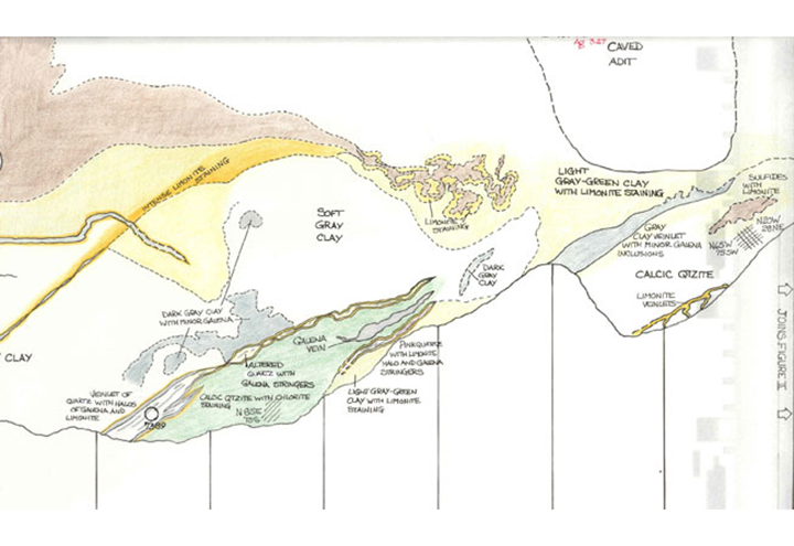
The MBMG objectives also included gathering new information on the economic geology and hydrogeology associated with these abandoned and inactive mines. As enacted by the Legislative Assembly of the State of Montana (Section 75-607, R.C.M., 1947, Amended), the scope and duties of the MBMG include "...the collection, compilation, and publication of information on Montana's geology, mining, milling, and smelting operations, and ground water resources; investigations of Montana geology emphasizing economic mineral resources and ground-water quality and quantity."
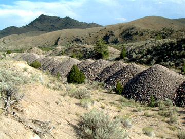
Abandoned and Inactive Mines Defined
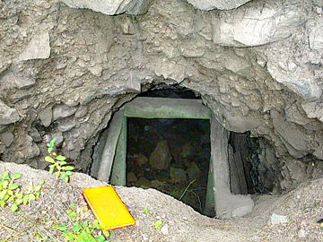
For the purposes of this study, mines, mills, or other processing facilities related to mineral extraction and/or processing are defined as abandoned or inactive as follows:
A mine is considered abandoned if there are no identifiable owners or operators for the facilities, or if the facilities have reverted to federal ownership.
A mine is considered to be inactive if there is an identifiable owner or operator of the facility, but the facility is not currently operating and there are no approved authorizations or permits to operate.
Project Objectives
In 1992 and 1993, the USFS, BLM, and MBMG began the project. The objectives of the discovery process were:
-
Utilize a formal, systematic program to identify sites with possible human health, environmental, and/or safety-related problems either on or affecting Federal lands.
-
Identify human health and environmental risks at each site based on site characterization factors including soil and water data.
-
Based on site characterization factors, identify sites that are not affecting Federal lands, and can be eliminated from further consideration.
-
Cooperate with other State and Federal agencies, and where possible, integrate the programs.
-
Develop and maintain a database of site information that would allow the USFS and the BLM to proactively respond to governmental and public interest group concerns.