Montana Bureau of Mines and Geology
Drone Research & Workshops
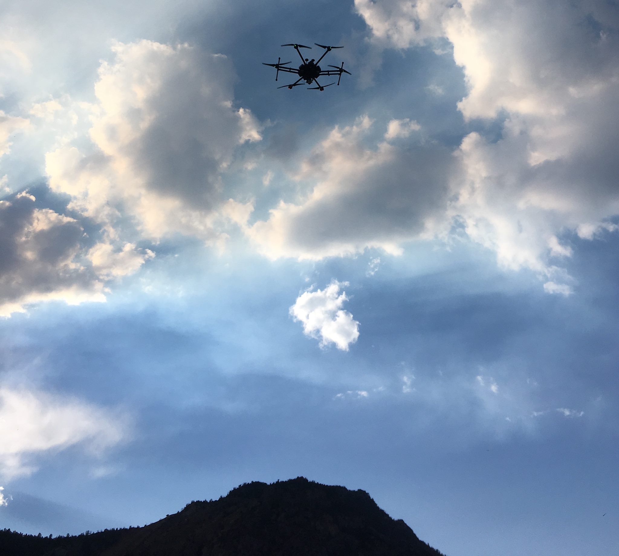
Matrice 600 - Photograph by John LaFave
Montana Bureau of Mines and Geology
Drone Research & Workshops
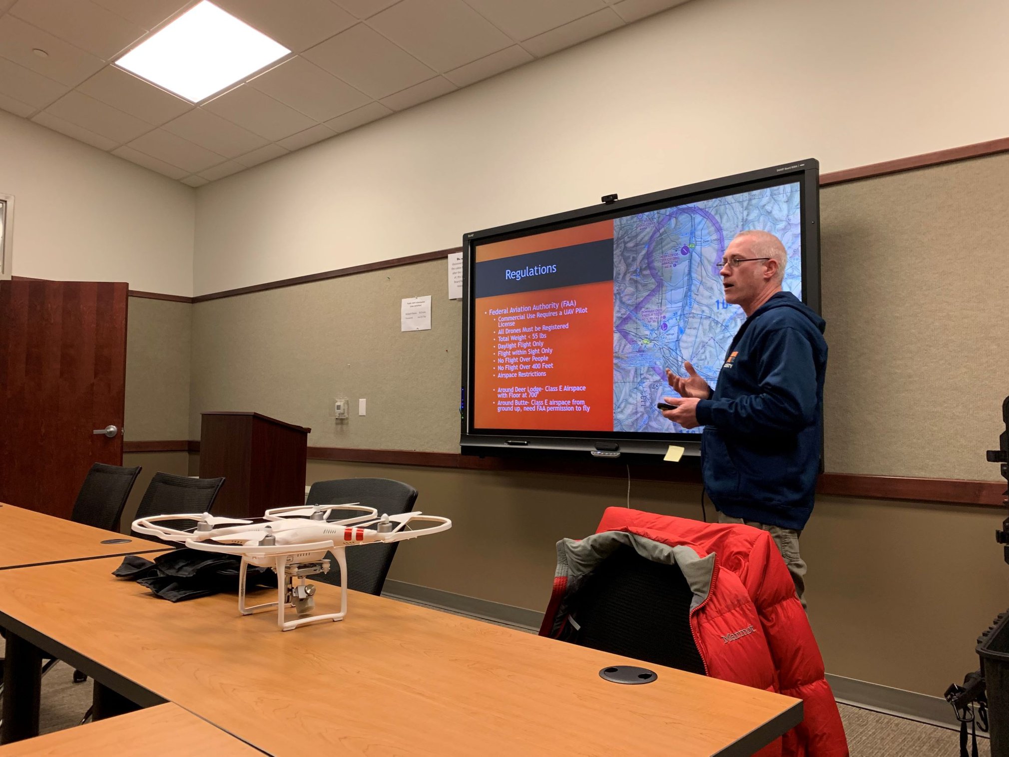
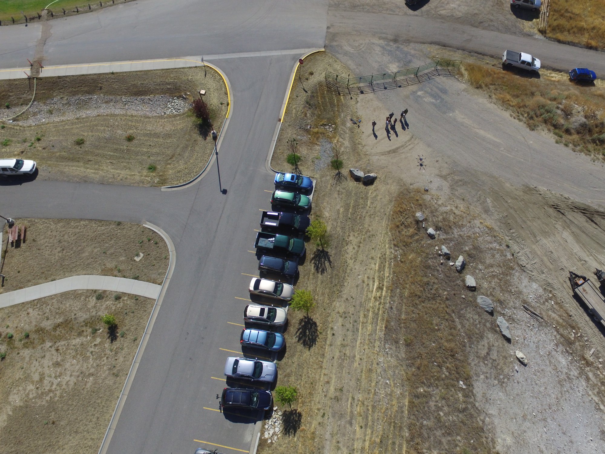
Drone Workshop - Photograph by Mike McKillips
Montana Bureau of Mines and Geology
Drone Research & Workshops
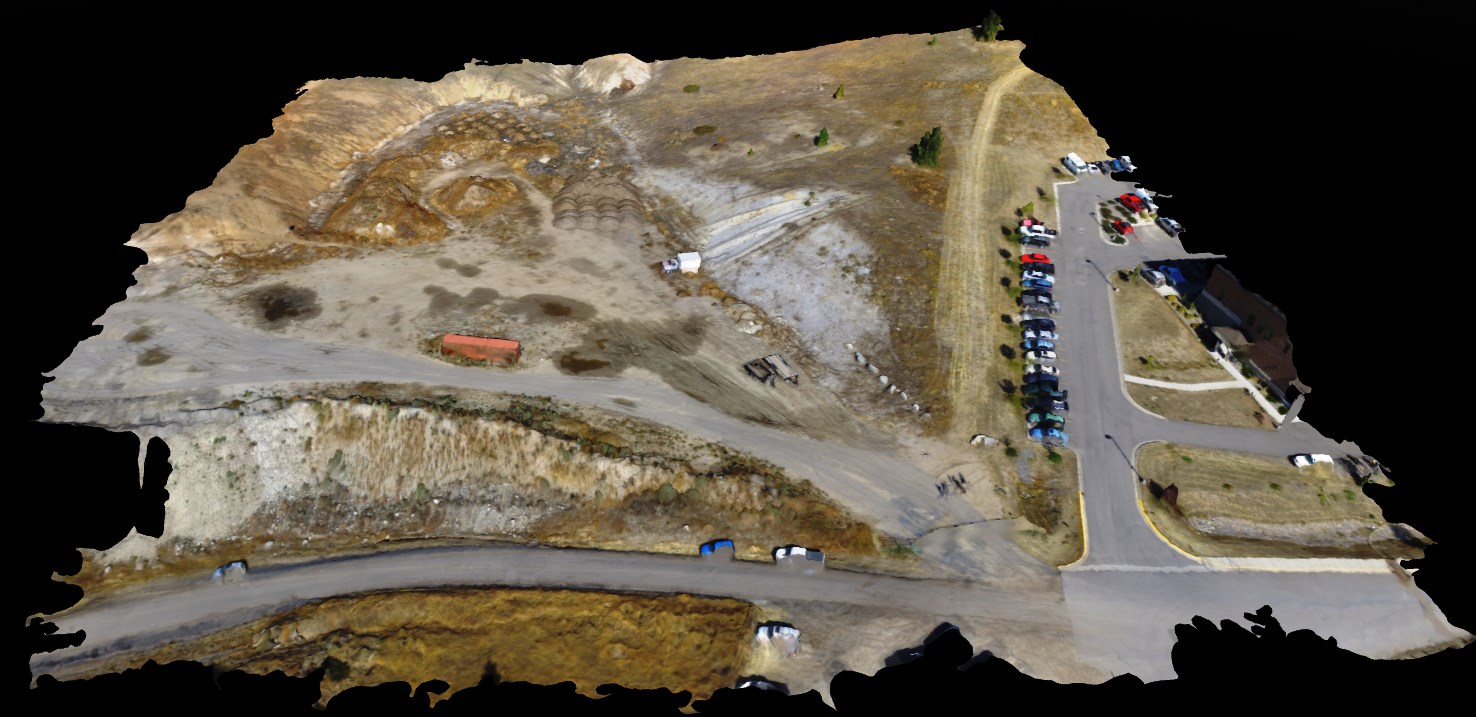
3D Model of West of Montana Tech - Photograph by Jeremy Crowley
Montana Bureau of Mines and Geology
Drone Research & Workshops
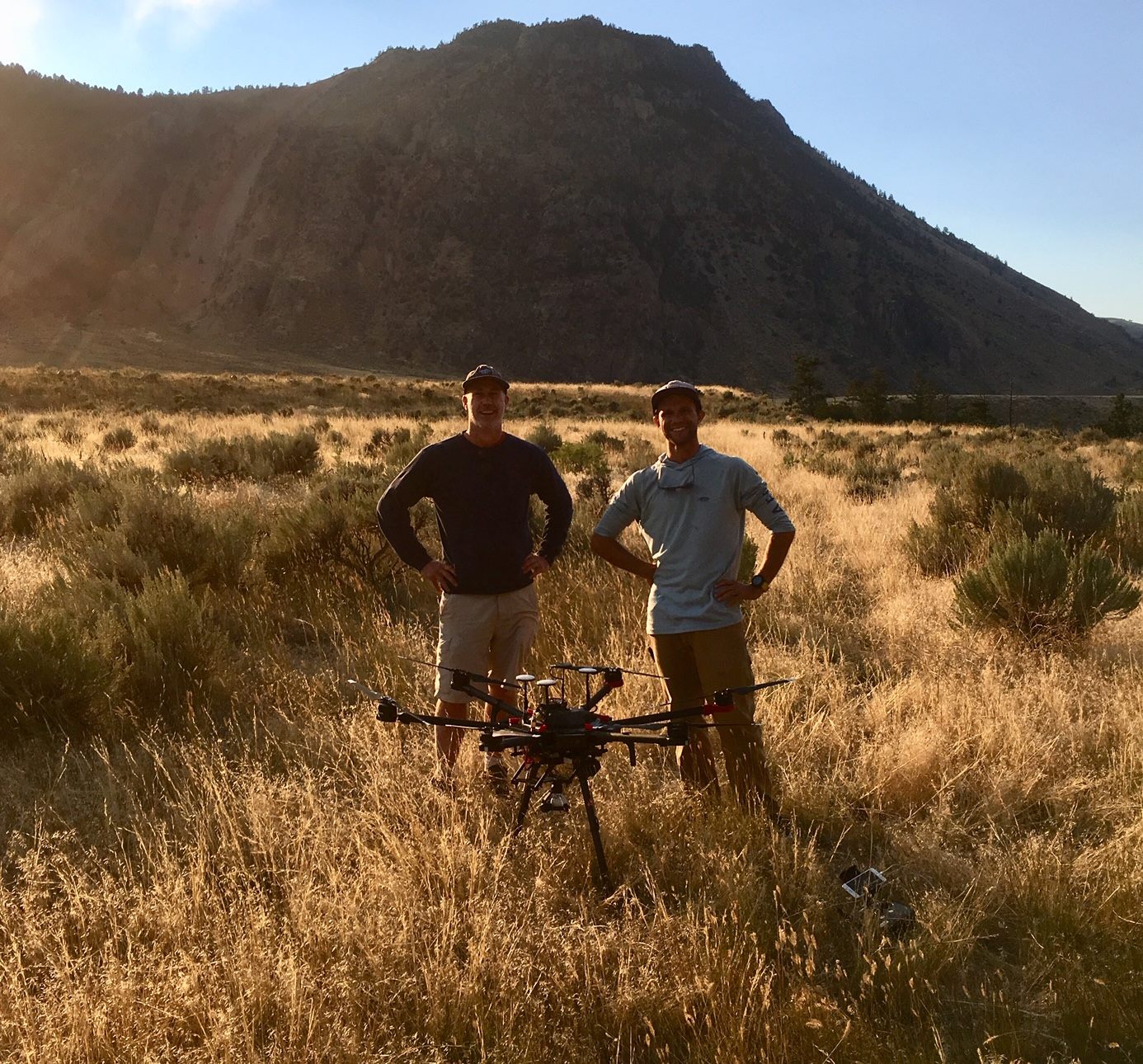
LaDuke - Photograph by John LaFave
Montana Bureau of Mines and Geology
Drone Research & Workshops
View from Matrice - Photograph by Jeremy Crowley
Montana Bureau of Mines and Geology
Drone Research & Workshops
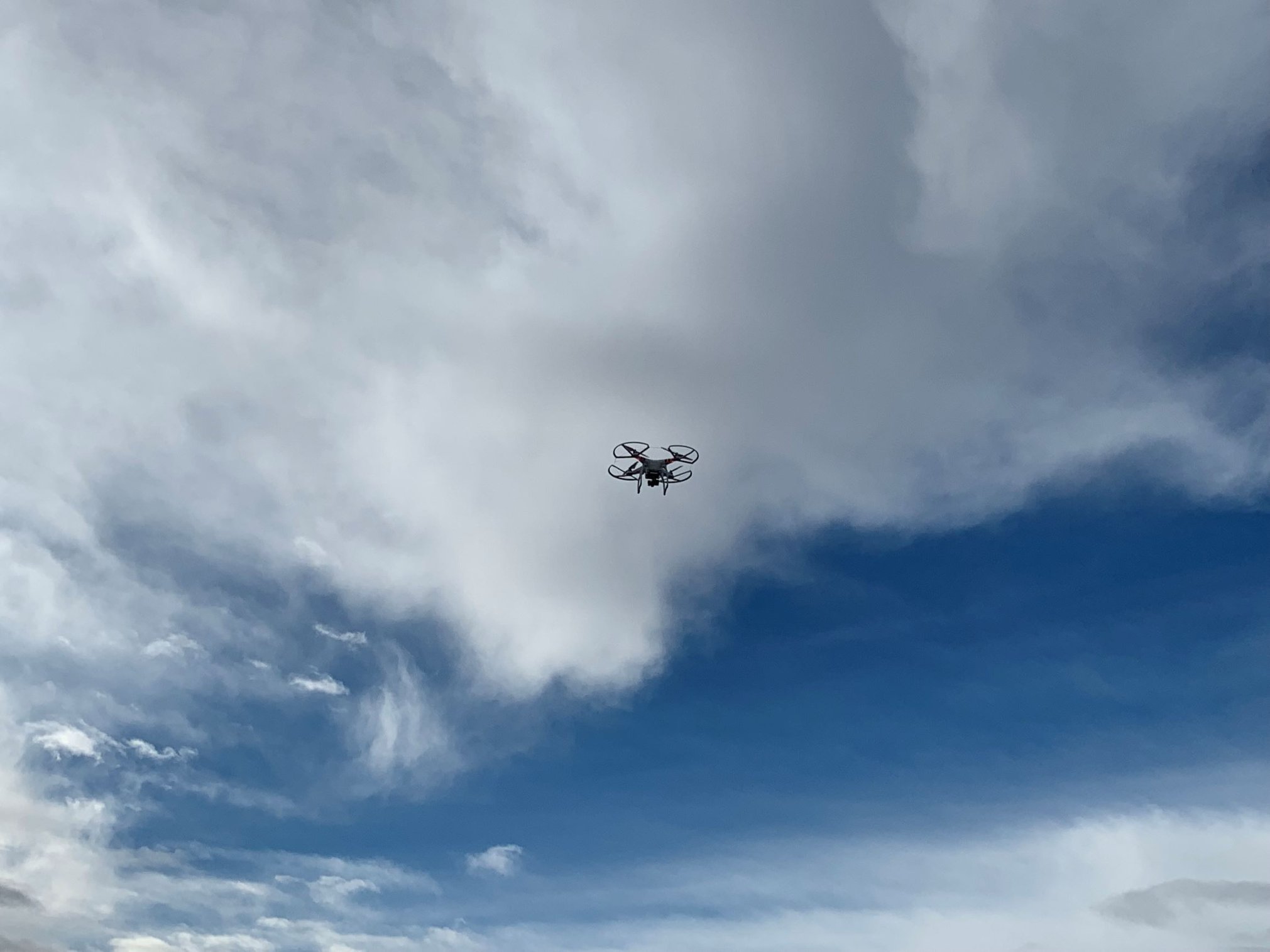
Phantom3 - Photograph by Jeremy Crowley
Next Scheduled Workshop:
January 16 - 17, 2021 Montana Technological University, Butte, MT.
Registration: Email JCrowley2@mtech.edu to register for or inquire about our workshops. Remote training also available.
Cost per person per day*: $400 (Scholarships and group discounts available)
*Workshop costs do not include an additional $150 if you would like to take the FAA Part 107 Remote Unmanned Pilot Certification, Unmanned Aircraft General (Small UAG) Certification Test at an approved testing center (in Missoula, Belgrade, Hamilton, Great Falls, Kalispell, etc.).
The FAA Part 107 Remote UAS pilot license is required for anyone flying UAS as part of work/business/commercial operations. This workshop will prepare attendees to pass the exam to obtain an FAA Remote Pilot License (Part 107). Attendees will also get hands-on training on using a UAV to conduct an automated photogrammetry survey, collect high accuracy (cm level) ground control points and check points, then post-process the control points and create a 3D model, digital surface model, and hillshade of the survey area.
Day 1 |
|
Part 107 Prep |
FAA Part 107 UAS Test Preparation: Interpretation of aeronautical maps, weather, FAA regulations, and safety equipment and technology for advanced UAS flight operations.
Specific topics
|
Day 2 |
|
UAS Survey |
FAA Part 107 UAS Test Preparation: The first half of day 2 will include an overview of Global Navigation Satellite System (GNSS) surveying and an overview of UAS inspection, maintenance, software update protocols, and troubleshooting. The common software apps used for flight planning and FAA authorization for flights will be introduced, as well as the apps used for automated flight control surveys. The second half of Day 2 will include hands-on demonstrations for the manual control of UAS. We will also walk through the steps of setting up a 3D photogrammetry survey, and collecting ground control and quality control points for high accuracy surveys. We will also conduct a UAS 3D photogrammetry survey using automated flight controls. |
Day 3 |
|
3D Model Creation |
Attendees will learn how to post-process cm level ground control points and check points using Trimble Pathfinder office (or NGS OPUS). Then they will learn how to load control and check points, and photos into the photogrammetry software Pix4D (or Agisoft Metashape) to create a 3D model and digital surface model, then export into ArcGIS and create a hillshade. |
| You may contact us to discuss the details of any of the following workshop options. Scholarship and group discounts are available. |
|---|
| Thermal UAS: 1 day workshop including ½ day thermal equipment and technology and ½ day thermal flight ops. |
| Multispectral UAS: 1 day workshop including ½ day multispectral equipment and technology and ½ day multispectral flight ops. |
| UAS Lidar: 2 day workshop. Day 1 introduction to Lidar technology, data, best management procedures. Day 2 hands on UAS Lidar ops. |
| UAS for Law Enforcement: 2 day workshop. Day 1 FAA exam content, Day 2 Accident investigation photogrammetry and Search and Rescue. |
| Description |
|---|
| Workshops are also available as pre-recorded webinars and tutorials, with remote instructor assistance. Remote workshops have a 50% discount from cost listed above. |
Instructor Biosketch:
Jeremy leads UAS studies at the Montana Bureau of Mines and Geology. He has
20 years of experience in the natural sciences and GIS fields, working in private industry and government agencies
to provide GIS solutions for cultural and water resources and biological sciences. Jeremy holds a Bachelor of Science
in Archaeology and Earth Sciences from the University of New Mexico and a Master’s of Science in Hydrogeology from
the State University of New York at Buffalo. Jeremy is currently a hydrogeologist at the Montana Bureau of Mines
and Geology, where he focuses on groundwater–surface water interaction, GIS, Remote Sensing, UAS, Big Data, and
Computer Programming. Jeremy has completed hundreds of UAS photogrammetry, thermal, and multispectral surveys over
the past few years. His work also includes building and integrating custom sensor systems (thermal, Lidar, multispectral etc.)
for UAS. In 2018, Jeremy helped create Montana’s first, and currently only, UAS research and training area
at the Montana Tech campus and Big Butte Open Space Park.